
The fourth dimension

When the first Plan for Development and Operation (PDO) for Gullfaks was submitted to the authorities in 1982, it was expected that 44 percent of the reservoir’s reserves could be recovered. This meant that more than half of the oil in the field would remain when production ceased. Recovering the remaining resources required different technology and production methods than those available in the 1980s.
Production peaked in 1994, and the field eventually entered what is known as tail-end production. To maintain output, Statoil depended on enhanced recovery. One approach was to phase in smaller satellite fields, such as Gullfaks South (1998)[REMOVE]Fotnote: Gullfaks South is located just south of Gullfaks. The field was discovered in 1978, but includes several additional finds made in the following years., which also included several smaller discoveries made in subsequent years: Gullveig, Rimfaks, and Skinfaks.
But it was also important to increase the recovery rate from the main field.
A challenging subsurface
Extracting more oil from the Gullfaks field was more complicated than from other fields. The main reservoirs at Gullfaks consist of sandstone with good properties. Nevertheless, it is not an easy field to produce from. The subsurface is fragmented by many faults, requiring numerous drainage points. This means continuous high drilling activity.
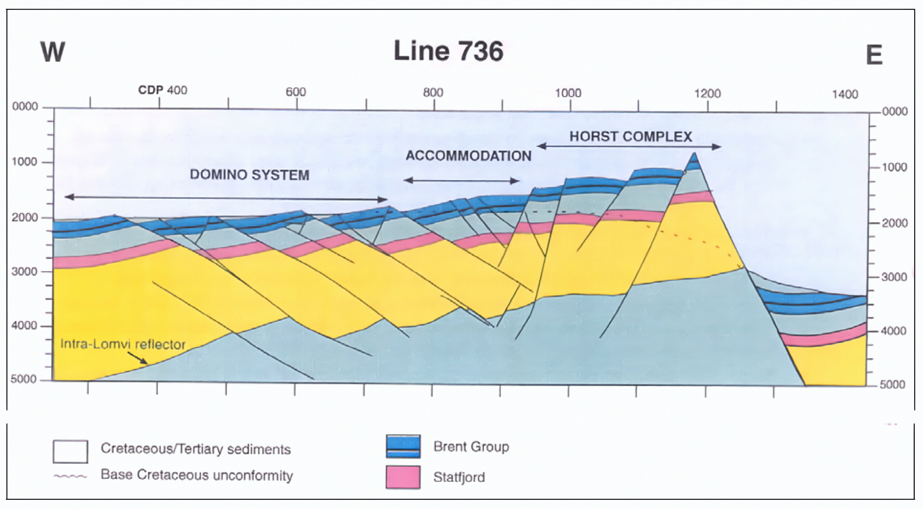
After decades of production, a significant amount of oil remained in the reservoir’s smaller compartments. The Gullfaks license was among the first to venture into new seismic technology to locate the remaining pockets of oil. Since 1996, regular 4D seismic surveys have been conducted.
The method involved conducting multiple 3D seismic surveys under the same conditions but at different times. When the images were compared, a fourth dimension emerged – the time dimension – providing insight into how oil and water had flowed through the reservoir and where remaining oil could be found.
This four-dimensional “time-lapse” technology was first used by the Gullfaks license – the first in the world to do so. Since then, 4D seismic has been used on most Statoil-operated fields.[REMOVE]Fotnote: We (Statoil) Norsk: internmagasin for Statoil. 2012 Nr. August
Seismic
- 2D seismic is collected using a single listening cable.[REMOVE]Fotnote: When seismic surveys are conducted, a loud sound is generated by a pressure wave released from an air gun. The sound wave travels through the sea and into the Earth’s crust. When the wave encounters boundaries between geological layers, it is reflected back to the surface. The wave continues downward, and reflections are sent upward at each layer boundary it meets. These reflected sound waves are captured by hydrophones (underwater microphones). It provides a relatively coarse image of the subsurface and is used for reconnaissance in new exploration areas.
- 3D seismic is collected using multiple parallel listening cables. This provides a three-dimensional and detailed image of the subsurface and is used when a company assesses the potential and value of a petroleum deposit.
- 4D seismic consists of repeated 3D acquisitions. The fourth dimension is time. 4D seismic is conducted to observe changes in the reservoir due to production or injection over time. This type of seismic is used on producing fields.[REMOVE]Fotnote: Norsk Petroleum. Seismikk. https://www.norskpetroleum.no/leting/seismikk/
Enhanced Recovery – IOR
Throughout the 1990s, there was increasing focus on Improved Oil Recovery (IOR), referring to additional recovery beyond what was described in the PDO. In 1993, the Norwegian Petroleum Directorate published its first status report on the topic[REMOVE]Fotnote: Oljedirektoratet. (1993, november). Økt utvinning – norsk kontinentalsokkel., and in 1998, it awarded the IOR Prize for the first time – a recognition of creativity, patience, and willingness to take risks in applying methods and technologies to increase recovery beyond expectations.[REMOVE]Fotnote: Sokkeldirektoratet. (2024. 19. juli). Improved Recovery Award. Improved Recovery Award – Sokkeldirektoratet (sodir.no) In 2004, the Gullfaks organization received the prize for its dedicated efforts to extract more oil from the reservoirs.
Between 2007 and 2014, a number of groundbreaking innovations were introduced at Gullfaks – greatly aided by high oil prices.
Prize awarded to a research pioneer
One of those involved in introducing the fourth dimension was Martin Landrø, professor of applied geophysics at the Norwegian University of Science and Technology (NTNU) in Trondheim.
Landrø is one of the pioneers in the development and use of 4D seismic. Over many years, he has made significant theoretical and practical contributions to improving this technology. He played a central role in the first trial of 4D seismic on the Gullfaks field.[REMOVE]Fotnote: Geoforskning. (2014. 26. august). IOR-prisen 2014 til Martin Landrø. https://geoforskning.no/ior-prisen-2014-til-martin-landro/
Qualification and further development of the technology have led to increased recovery and a value gain of six billion Norwegian kroner from Gullfaks alone.[REMOVE]Fotnote: Equinor. (2007.18. oktober). “Research prize for seismic pioneer”. https://www.equinor.com/news/archive/2007/10/18/ResearcherPrize
In 2014, he received the IOR Prize (now the Improved Recovery Award) for his work in developing 4D seismic for mapping, production management, and reservoir monitoring, including at Gullfaks.